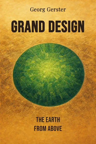
Grand Design
The Earth from above
Description
Somewhere over the Sahara in the 1960s, a Swiss journalist leaned out of a small aircraft with a camera and looked straight down. What he saw wasn't a desert the way anyone standing in it would describe it — an expanse of sand, heat, monotony. From a few hundred meters up, the dunes arranged themselves into ripples and combs and long parallel ridges, a composition that looked less like geography than like something drawn on purpose. Georg Gerster spent the next several decades chasing that view across every continent, and the images he brought back became the book he called Grand Design.
The premise is deceptively simple. Gerster photographed the Earth from low altitude — not from a satellite, not from the edge of space, but from the height a bird might hold, close enough to keep the detail and high enough to lose the horizon. At that distance the surface stops being a place you move through and becomes a surface you read. Fields become mosaics. Rivers become handwriting. A village organizes itself around wells and paths in a way no one on the ground intended as a picture, and yet there it is, a picture.
What accumulates across the collection is stranger than a coffee-table survey of pretty landscapes. The same visual logic keeps surfacing whether Gerster is over an ancient salt pan or a modern irrigation circle in Kansas — a sense that the planet's skin has been organized, by wind or water or ten thousand years of farming, into forms that only reveal themselves from above. The book is that revelation held still, frame by frame.
The question we’re asking : What does the Earth become when we stop walking across it and start looking straight down at it from the air?What we’ll see : How one photographer's obsession with the overhead view turned landscapes into legible designs, and what that vantage does to the way we tell nature and human hands apart.
Table of contents
01Chapter 1 — The photographer who flew to see differently
Georg Gerster was a science journalist before he was an aerial photographer, and the sequence matters. Born in Switzerland in 1928, he came to the camera not as an artist looking for beauty but as a reporter looking for evidence — of archaeology, of agriculture, of how people had settled the land. The airplane was, at first, just a better vantage point for a story. He kept noticing that the story looked different once he was above it. A ruined settlement that meant little at eye level snapped into a clear plan of streets and foundations when shadows fell across it from a low sun.
That discovery became a method. Gerster worked from light aircraft and helicopters, often with the door removed, shooting almost straight down while a pilot held the plane steady and slow. He chose his light carefully — early morning or late afternoon, when long shadows carve out relief the midday sun flattens into nothing. He returned to sites in different seasons, waited for the harvest or the flood, and treated the whole surface of the Earth as a subject that had to be caught at the right moment, like any portrait.

02Chapter 2 — When farmland turns into ornament
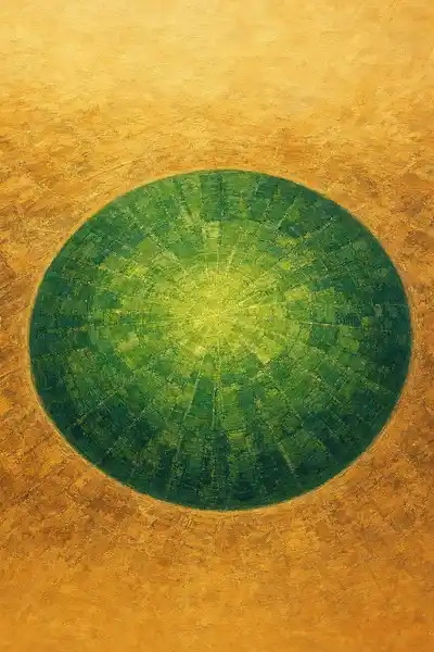
The most disorienting images in Grand Design are often the least dramatic on paper: cultivated land. A wheat field is the dullest thing imaginable at ground level. Seen from above, worked land becomes some of the most graphic material Gerster ever found. The terraced rice paddies of Asia curve around hillsides in contour lines that look drawn by a compass. The great center-pivot irrigation circles of the American plains stamp perfect green disks into square brown sections, geometry laid over geometry. The land has been written on, and the writing is legible only from the air.
What the overhead view exposes is intention made physical. Every field boundary is a decision — about ownership, about water, about how a plow turns at the end of a row. Gerster's camera reads those decisions back as pattern. A patchwork of small holdings in Europe becomes a mosaic of irregular colored tiles, each one a family's plot, the whole thing a map of inheritance and division no map was meant to draw. A collective farm's vast uniform blocks tell a different story in the same visual language. The pattern is never abstract; it's a record of how people organized their survival.
03Chapter 3 — The land beneath the pattern
If human fields make one half of the book, the other half belongs to forms no one designed at all. Gerster flew over river deltas fanning into the sea in branching channels that look exactly like the veins of a leaf or the branching of a lung — the same shape water finds whether it's moving through a body or across a continent. He caught braided rivers weaving silver threads across gravel flats, volcanic fields cracked into polygons, dune seas combed into endless parallel ridges by a wind that never signed its work.
These images carry a quiet argument about time. A farmer's field is the product of a season or a generation. The forms Gerster found in raw geology were the product of processes running for thousands or millions of years — erosion, sedimentation, the slow arithmetic of water finding the lowest path until it carved a pattern. From the air, that deep time becomes visible in a single frame. A canyon system reads as a diagram of everything the water did, all at once, held still for the camera.
04Chapter 4 — The view that reframes the argument
Step back from the individual frames and Grand Design starts to look like an argument about a single boundary — the one we draw between the natural world and the human one. On the ground, that line feels obvious. A forest is nature; a city is not. A river is nature; a canal is not. Gerster's overhead vantage quietly erases the line. From above, the canal and the river use the same branching logic, the terraced hillside and the eroded one share the same contours, and the eye stops sorting the world into boxes it thought were self-evident.
What the altitude does is remove us from the scene. Standing in a landscape, we are the measure of it — a field is human-scale, a mountain is not. Lift the camera a few hundred meters and the human figure disappears entirely. There are no people in these pictures, no cars, rarely a recognizable building. What remains is the surface as a surface, and at that scale a plowed valley and a glacial one are simply two ways the planet's skin has been shaped by force applied over time. Gerster doesn't editorialize. He keeps placing images side by side until the reader draws the conclusion.
05Conclusion
Gerster kept flying and photographing into his later years, building an archive of tens of thousands of images spanning the globe, and Grand Design gathers the strongest into a single sustained look downward. What began as a reporter reaching for a better angle on a story became a lifelong case that the overhead view is not a novelty but a genuine way of knowing the Earth — one that shows us things no ground-level lifetime could assemble.
Related books